High moors, limestone dales, and a long crossing from West Yorkshire to the Eden Valley
The Dales High Way runs from Saltaire, a UNESCO World Heritage Site in West Yorkshire, to Appleby-in-Westmorland, tracing a high-level line across the Pennines rather than staying low in the valleys. For those exploring northern England through self-guided travel, the route links moorland, limestone landscapes, and small rural places into a continuous walking journey shaped by elevation, weather, and long views.
From the River Aire, the path climbs steadily onto open moorland above Airedale, where heather, rough grass, and wide horizons set the tone early. The landscape feels spacious and wind-shaped, with stretches of walking defined more by sky and distance than by landmarks.
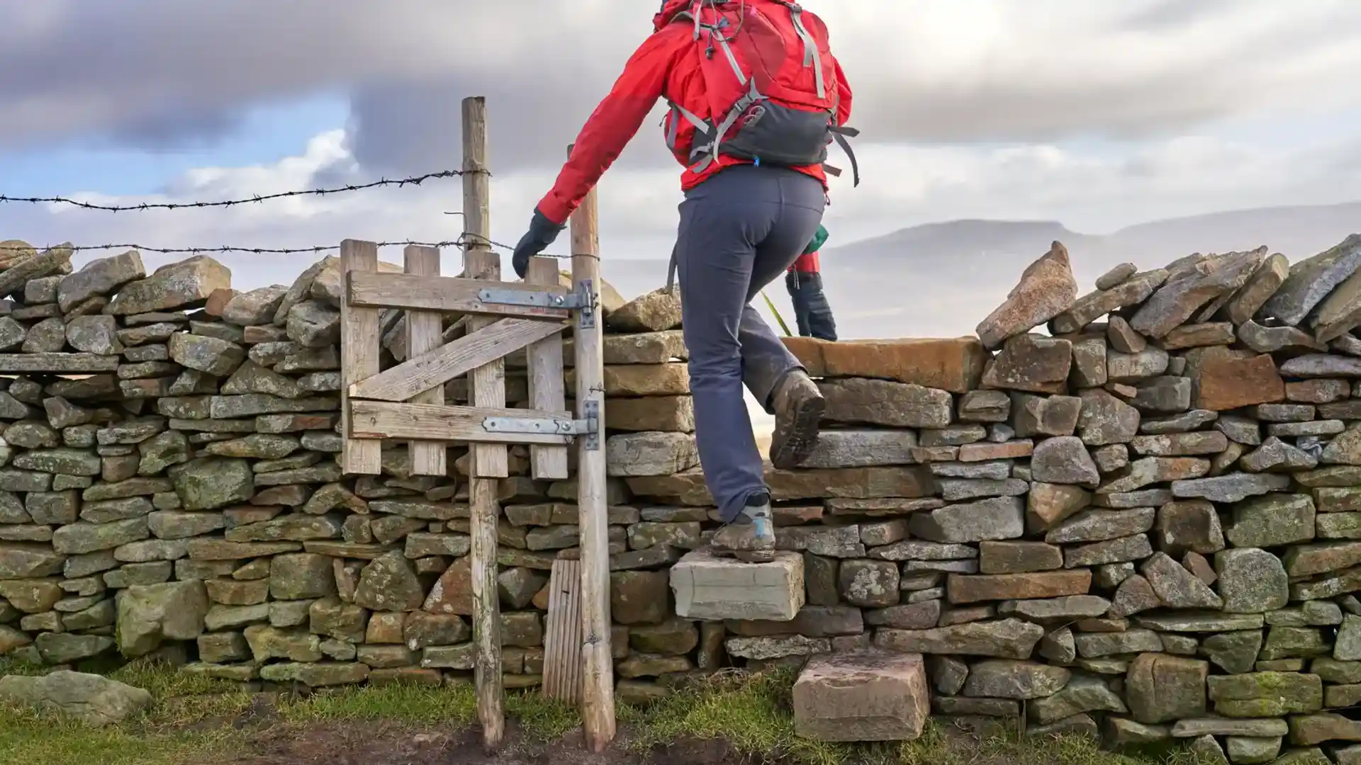
Further west the route enters the Yorkshire Dales, where limestone begins to dominate the character of the land. Dry-stone walls divide the fields, valleys cut deep into the hills, and the walking alternates between open ridges, high pasture, and tracks that hold the higher ground above places like Ilkley and Grassington.
As the route approaches Ribblesdale, the sense of scale increases. Long, exposed sections cross broad uplands near Horton-in-Ribblesdale and Ribblehead, where the ground feels remote and the horizon widens. Days here are shaped by steady climbing, big weather, and the gradual shift from one dale to the next.
Beyond Dent, the upland character begins to soften. The path continues across quieter high ground before easing into the Eden Valley and finishing in Appleby, where ridges give way to gentler farmland and river-meadow edges. The overall experience is one of continuity — a long, high crossing where landscape changes slowly, step by step.
For many walkers, the appeal of the Dales High Way lies in that sustained sense of space: a route that keeps returning to open ground, long views, and the steady rhythm of the Pennines.
Trail Overview
Distance
Approximately 90 miles / 145 km
Typical time on foot
7–10 days
Start
Saltaire, West Yorkshire
Finish
Appleby-in-Westmorland, Cumbria
Terrain
High moorland, limestone dales, upland ridges, pasture, and river valleys
