West Yorkshire – Pennine Hills, Valleys, and Urban Green Corridors
A Pennine county of upland moorland, steep valleys, and closely spaced towns across the South Pennines
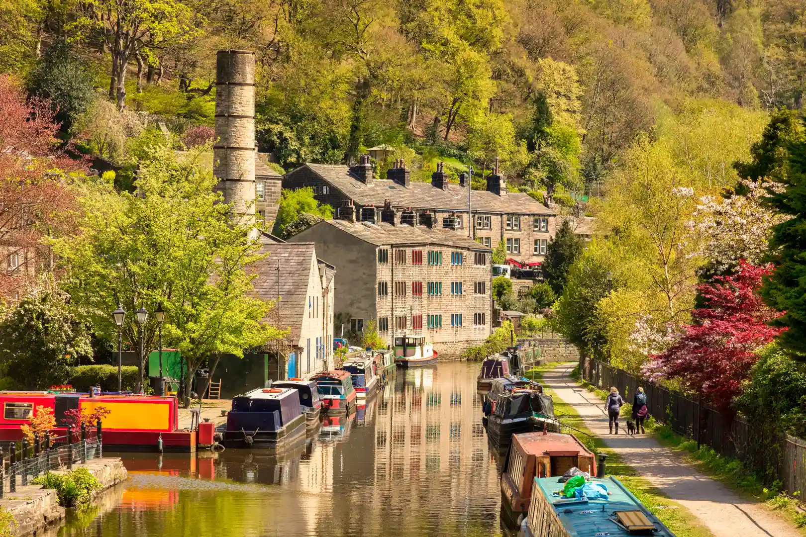
West Yorkshire is a Pennine county of upland moorland, river valleys, and industrial-era settlements in northern England. Walking routes cross the South Pennines National Landscape, pass through the Saltaire UNESCO World Heritage Site, and follow the Pennine Way, the Calderdale Way, and canal and riverside paths, linking places such as Leeds, Bradford, Halifax, Huddersfield, and Hebden Bridge across moorland edges, wooded cloughs, and former industrial corridors.
Much of the terrain is mixed underfoot. Upland sections use stone-set paths, gritstone tracks, and open moorland with steady climbs onto ridges and plateaux. Valley routes follow canal towpaths, riverside paths, and urban greenways, allowing level and continuous movement between settlements. Gradients are frequent but generally short, with repeated ascents and descents rather than sustained mountain climbs.
The landscape shifts between distinct areas. Western parts around Calderdale and the Pennine edge are higher and more exposed, with open moorland and gritstone escarpments. Central valleys along the Calder and Aire include dense settlement, mills, and transport corridors. Toward the east, ground lowers into broader farmland and parkland around Leeds and Wakefield.
Towns and villages are closely spaced along valley floors, creating frequent access points for shorter walks and longer point-to-point routes without extended remote sections.
Trails and Routes Through West Yorkshire
Pennine Way
A national long-distance route crossing the western edge of the county over open moorland and gritstone terrain near Calderdale.
Calderdale Way
A circular long-distance route around the Calder Valley, linking moorland tops, woodland, and valley paths around Halifax and Hebden Bridge.
Leeds–Liverpool Canal towpath
A level linear route following the canal corridor through the Aire Valley, including the section passing Saltaire.
Kirklees Way
A circular regional route linking valleys, woodland, and upland edges around Huddersfield and the southern Pennines.
Walking Character
- Gritstone moorland and exposed uplands
- Steep-sided wooded valleys
- Canal towpaths and riverside corridors
- Stone-set tracks and mixed surfaces
- Frequent towns and transport links
- Inland, upland–valley landscape with industrial heritage