East of England – Tidal Coast, Wetlands, and Open Lowland Horizons
Landscapes shaped by water, light, and long-distance routes
The East of England is shaped by its walking routes, open lowland landscapes, and the quiet places they connect. Long-distance paths such as the Norfolk Coast Path and the inland line of the Peddars Way link shoreline, heath, and farmland, creating one of England’s most accessible regions for self-guided travel and steady, continuous movement between coast, river, and village. Here, progress is measured less by ascent than by distance and horizon.
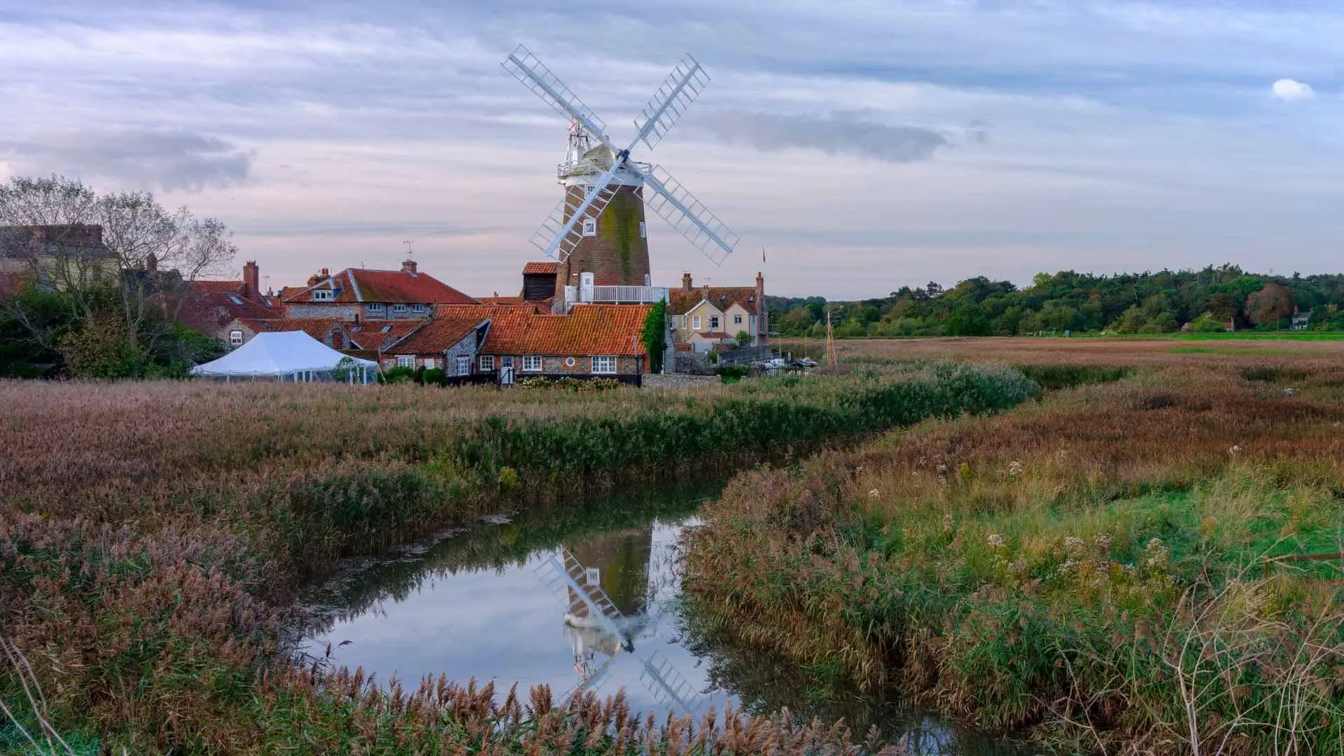
The terrain is broad and level rather than dramatic. Estuaries and saltmarsh define the coast, while slow rivers wind through reedbeds and grazing marsh before reaching the sea. Inland, heathland, arable fields, and long skies give the landscape a spacious, unbroken character. Within the Broads National Park, footpaths follow waterways and wetland trails between mills and small settlements, where walking feels calm and closely tied to water, weather, and light.
Much of the region’s identity comes from its protected landscapes. The Norfolk Coast National Landscape, Suffolk Coast & Heaths National Landscape, and the river valleys of Dedham Vale National Landscape safeguard dunes, meadow, heath, and estuary. These are working landscapes as much as natural ones, where farming, wildlife, and settlement sit side by side and paths pass easily between reserves, fields, and historic communities.
Movement across the East of England often follows clear, linear features laid down over centuries. Roman roads, drove routes, riverbanks, and seawalls continue to shape today’s long-distance trails. The Fen Rivers Way traces the Cam and Great Ouse across open fenland between Cambridge and King’s Lynn. The historic St Edmund Way links Dedham Vale with Suffolk’s interior towns, while the Stour Valley Path follows meadow and woodland beside the River Stour. Further south, the developing Essex Coast Path traces tidal creeks and estuaries through some of the region’s quietest shoreline.
Walking here is defined by rhythm and continuity. Church towers, harbour quays, and market squares appear at regular intervals, creating natural pauses without breaking the flow of the journey. Coast, countryside, and settlement feel closely connected, encouraging longer days on foot through inhabited landscapes rather than isolated stretches of wilderness.
This is a region best understood step by step: along tidal edges, beside slow rivers, and between historic places that together form one of England’s most distinctive lowland walking environments.
Routes & Landscapes Across the Region
The Norfolk Coast Path and Peddars Way form the region’s best-known inland-to-coast crossing, linking Breckland heath with beaches, dunes, and harbour villages.
The waterways of the Broads National Park provide gentle riverside walking through reedbeds and open water.
Further south, the Suffolk Coast & Heaths and Dedham Vale offer quieter estuary and meadow landscapes, connected by the Stour Valley Path and St Edmund Way between historic towns and countryside.
Inland, the Fen Rivers Way and Essex Coast Path follow rivers and tidal creeks through wide, open lowland terrain.
Counties of the East of England
Norfolk, Suffolk, Cambridgeshire, and Essex each offer distinct variations of this lowland character — from open coast and wetlands to inland rivers and historic countryside — providing natural bases for longer regional journeys.
Beginning to explore the East of England
The East of England’s walking trails, protected landscapes, and quiet places form a connected network rather than a single destination. Following its coastlines, rivers, and historic paths reveals how land, water, and settlement continue to shape movement through the region.
Frequently Asked Questions
What defines walking in the East of England?
Lowland terrain, long coastal and riverside paths, wetlands, heathland, and generally level routes suited to steady, continuous walking.
Are there long-distance trails in the region?
Yes. Key routes include the Norfolk Coast Path, Peddars Way, St Edmund Way, Stour Valley Path, Fen Rivers Way, and the Essex Coast Path.
Is the terrain challenging?
No. The region is mostly flat or gently rolling, making it well suited to longer days on foot.
Are there protected landscapes?
Yes. The Broads National Park and several National Landscapes protect coastal, wetland, and lowland environments across the region.
Can routes be linked together?
Yes. Many trails intersect or pass through towns and villages, allowing longer journeys to be combined easily.