
Suffolk Coastal Cycle Route
Shingle shores, estuaries, and quiet lanes across the Suffolk Coast & Heaths
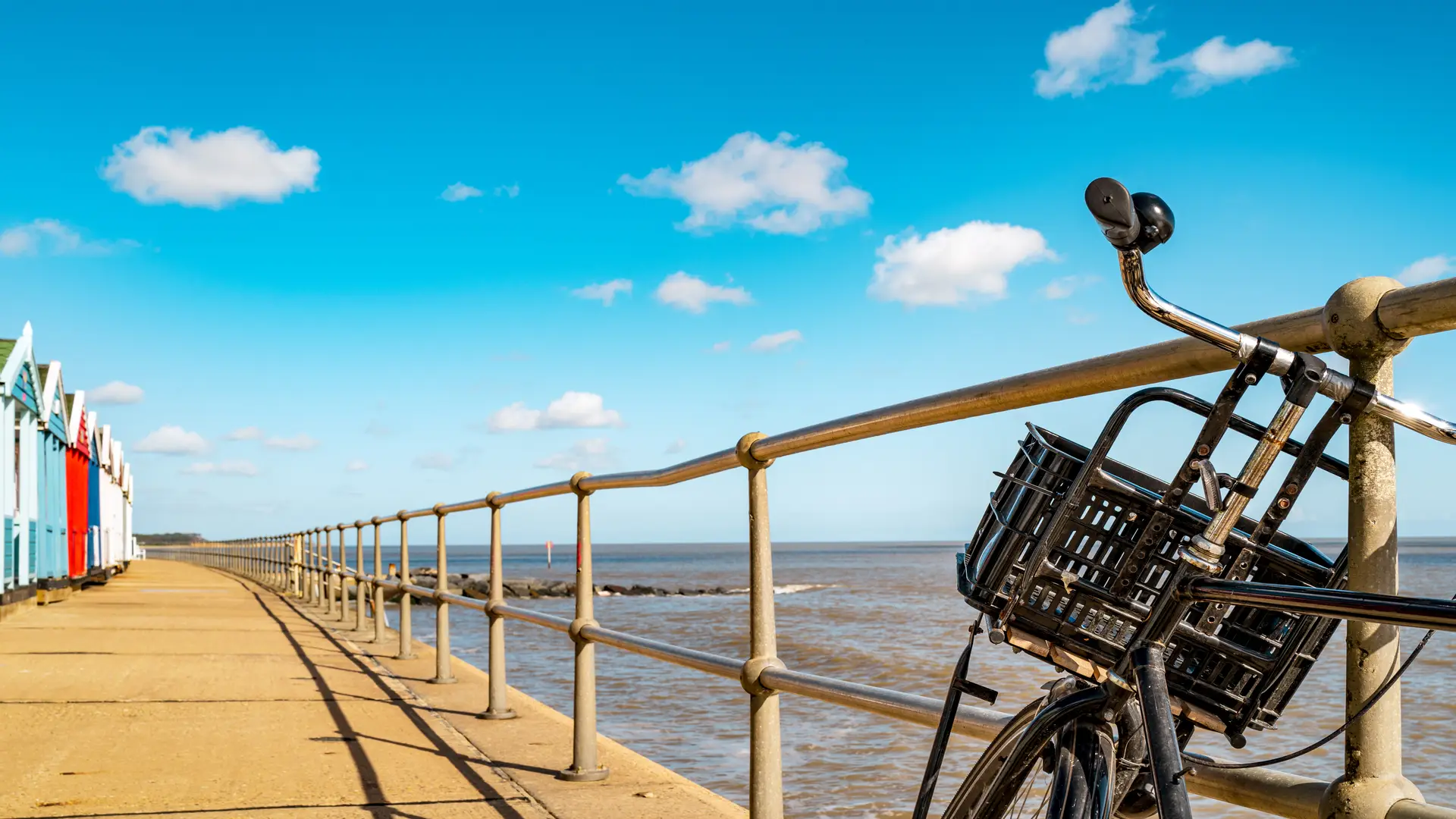
The Suffolk Coastal Cycle Route links self-guided travel, cycling routes, landscapes, and places along the Suffolk coast, connecting Felixstowe, Woodbridge, Orford, Snape, Aldeburgh, Thorpeness, and Dunwich through a circular network of quiet lanes and signed sections of Regional Cycle Route 41 and the National Cycle Network. Riding here follows estuaries, heathland, and small coastal settlements, shaped by tide, weather, and open East Anglian skies.
Rather than following a single straight line, the route moves between coast and inland sections using minor roads, riverside approaches, and occasional ferry crossings. Progress feels steady and unhurried, with reedbeds, grazing marsh, and shingle beaches giving way to timbered villages and market towns spaced naturally along the way.
Much of the riding passes through the Suffolk Coast & Heaths National Landscape, where low horizons, birdlife, and wide estuaries create a strong sense of space. Gradients are generally gentle, and the character is pastoral and human-scaled rather than demanding, making it well suited to short daily stages or a relaxed multi-day journey.
Inland stretches through Woodbridge and Framlingham add river valleys, castles, and farmland, before the route returns again to the sea. The overall experience is one of continuity — coast, estuary, and countryside linked together by quiet roads.
For many riders, the appeal lies in that rhythm: short distances between places, simple navigation, and landscapes that change subtly from hour to hour.
Trail Overview
Distance
Approximately 60–90 miles / 95–145 km
(depending on chosen variants and ferry crossings)
Typical time on cycle
2–4 days for the full loop
Half-day or day rides for individual sections
Start
Felixstowe, Woodbridge, Orford, Snape, Aldeburgh, or Dunwich
Terrain
Quiet B-roads, country lanes, coastal tracks, estuary crossings, and gently rolling countryside
Frequently Asked Questions
Where is the Suffolk Coastal Cycle Route?
It follows the Suffolk coastline between Felixstowe and Dunwich, linking estuaries, heathland, and villages through the Suffolk Coast & Heaths National Landscape.
Is it signposted?
Yes. Much of the route follows Regional Cycle Route 41 and National Cycle Network signage, though maps or GPX files are useful for linking sections.
What is the riding like?
Mostly easy to moderate on quiet lanes with gentle gradients and occasional exposed coastal sections.
Can it be done without a car?
Yes. Rail links at Felixstowe, Woodbridge, and Saxmundham make car-free trips straightforward.
Are ferries available?
Several small seasonal ferries cross local estuaries and often carry bikes. Services are weather dependent and should be checked in advance.
