
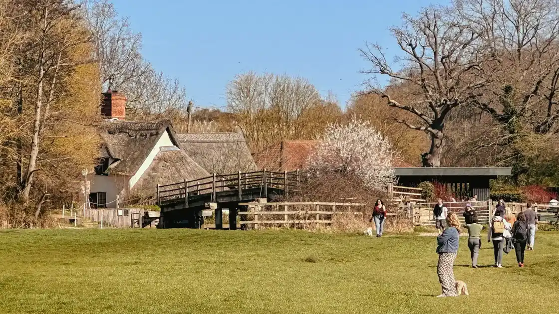
A walking landscape around the River Stour
The Dedham Vale National Landscape extends along the valley of the River Stour on the border between Suffolk and Essex.
Its landscape is predominantly rural, with the river passing through water meadows, farmland, woodland and villages including Dedham, Flatford, Nayland and Stoke-by-Nayland.
Walking routes cross both sides of the valley, ranging from shorter paths between villages to long-distance trails passing through the wider Stour Valley.
Following the River Stour
The River Stour is one of the defining features of Dedham Vale.
Footpaths follow and cross the valley at numerous points, connecting riverside meadows with surrounding villages and higher farmland.
Around Dedham and Flatford, paths provide access to some of the best-known parts of the valley, including the landscapes associated with the painter John Constable.
Further west, the countryside becomes increasingly rural as the Stour continues between Suffolk and Essex.
The Stour Valley Path
The Stour Valley Path is one of the principal long-distance walking routes through the area.
Running from Newmarket to Cattawade, the trail follows the wider Stour Valley through Suffolk and Essex before reaching Dedham Vale towards its eastern end.
Within the National Landscape, it connects villages, farmland and stretches of the river before continuing towards the Stour estuary.
St Edmund Way
The St Edmund Way also crosses Dedham Vale as part of its route between Manningtree and Brandon.
From Manningtree, the trail travels through the Stour Valley before continuing north through Suffolk towards Bury St Edmunds and the Brecks.
The two trails provide different ways of exploring the landscape, while sharing sections of the wider countryside around the River Stour.
Villages and historic landscapes
Settlements within Dedham Vale form an important part of its walking geography.
Dedham sits close to the River Stour and provides access to paths leading towards Flatford and the surrounding countryside.
At Flatford, the river, water meadows and historic buildings are closely associated with John Constable, who used the surrounding landscape as the subject of several paintings.
Further upstream, Nayland and Stoke-by-Nayland provide other points from which paths extend into the valley and surrounding farmland.
Walking through Dedham Vale
Much of the walking in Dedham Vale is across low-lying countryside, using riverside paths, field paths, tracks and lanes.
Conditions can vary after prolonged rain, particularly around water meadows and low-lying sections close to the river.
The network of paths also makes it possible to combine sections of the long-distance trails with shorter walks between villages and places along the Stour.
.webp)
.webp)