High passes, long valleys, and a continuous crossing of the French Alps
The GR5 from Briançon to Geneva traces a high-level line through the French Alps, linking walking routes, mountain landscapes, and small alpine places between the fortified town of Briançon and the shores of Lake Geneva. For those exploring this region through self-guided travel, the trail forms a continuous northbound journey shaped by passes, valleys, and sustained transitions rather than individual summits or viewpoints.
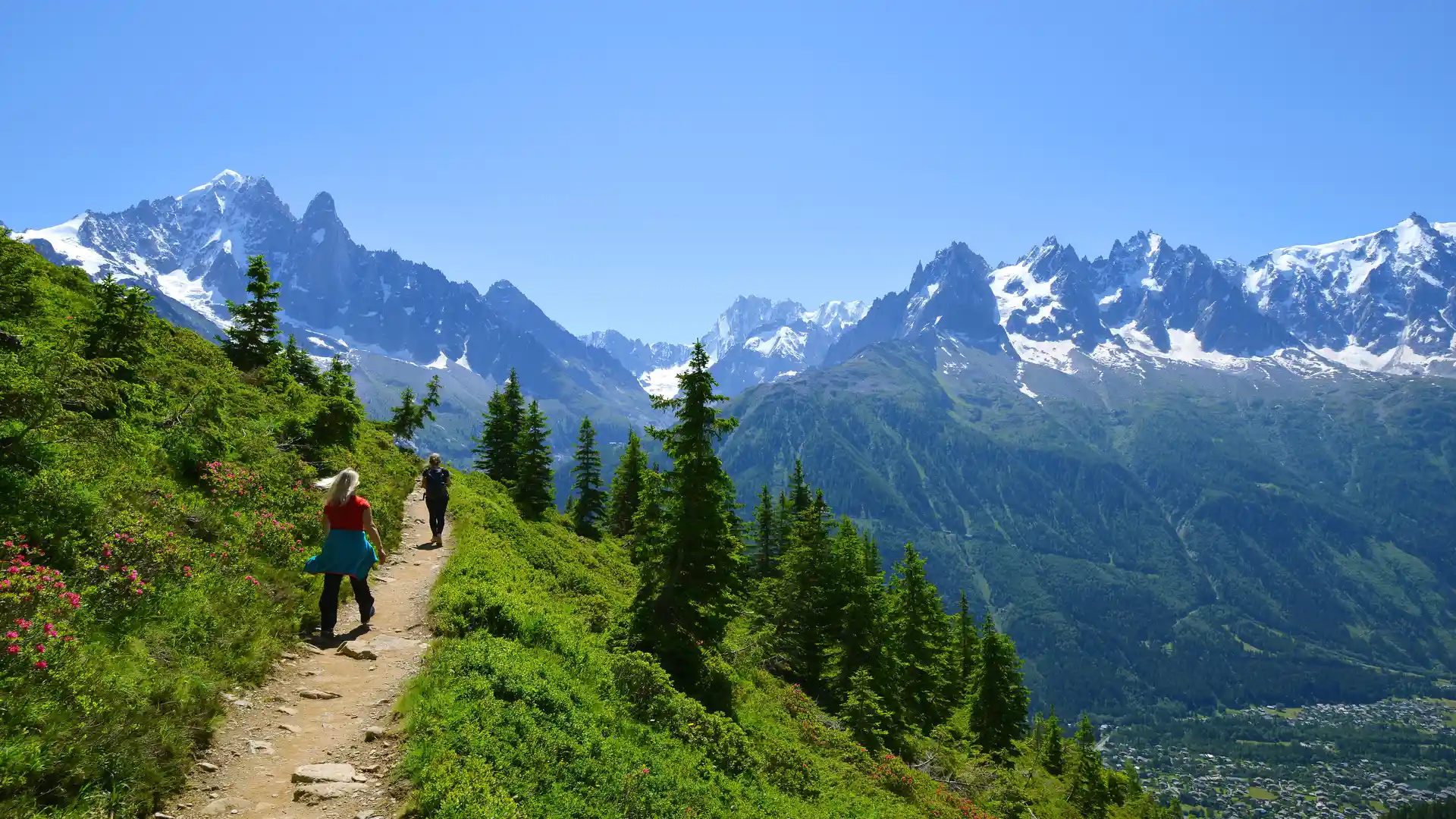
Leaving Briançon, the route climbs quickly above the valley floor onto open slopes and balcony paths that contour across the mountainsides. Early stages establish the rhythm of the walk: steady ascents to high cols, long traverses above villages, and sustained time on exposed ground where the scale of the Alps becomes clear.
Further north the terrain grows broader and more glaciated. Wide basins, rough pasture, and rocky ridges alternate with forested descents into working valleys. Towns and refuges appear at natural intervals, offering pauses without breaking the overall sense of progression. Movement feels continuous, with each day carrying the route across another watershed and into a new valley system.
Approaching the Mont Blanc & Upper Arve region, the landscape becomes more dramatic. Glaciers, high peaks, and steep-sided valleys define the skyline, and long views stretch across some of the highest ground in the Alps. Despite the proximity of well-known centres such as Chamonix, the GR5 remains a through-route, maintaining its steady northward line rather than circling any one area.
Beyond the highest ground, the character softens. Alpine ridges give way to wooded hills and lower pasture as the path descends gradually towards Switzerland. Stages feel less exposed, settlements grow closer together, and the mountains begin to open towards the broad water of Lake Geneva.
By the time the trail reaches the lakeside, the journey has crossed an entire section of the Alps on foot. The experience is defined less by any single landmark than by that continuity — a long, deliberate progression through changing terrain, weather, and altitude.
For many walkers, the appeal of this section of the GR5 lies in that immersion: days shaped by elevation, distance, and landscape, where the mountains unfold step by step.
Trail Overview
Distance
Approximately 370 km / 230 miles
Typical time on foot
3–4 weeks
Start
Briançon, Hautes-Alpes
Finish
Lake Geneva, Swiss Border
Terrain
Mountain passes, alpine tracks, balcony paths, rocky ridges, forest trails, and valley roads
