Stalham, Norfolk – River Ant and Northern Broads Landscape
Flat waterways, reedbeds, and open marshland in the northern Broads
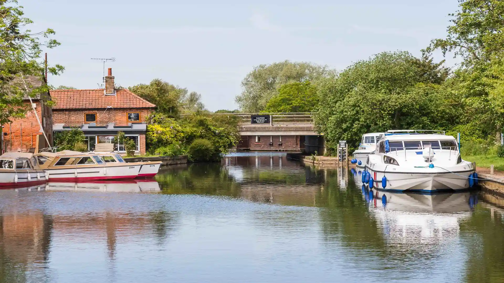
Stalham sits within The Broads National Park in north-east Norfolk beside the River Ant, close to Barton Broad and Sutton Broad. Although the main line of the Weavers’ Way passes to the west through Sutton and Wayford, the town lies within the same flat wetland landscape of rivers, drainage channels, and grazing marsh.
The settlement stands on slightly raised ground above surrounding waterways. Underfoot, progress is firm and level on riverside paths, minor roads, and field-edge tracks. The terrain is almost entirely flat, defined by reedbeds, open water, and wide skies rather than hills or woodland. Boats and small craft move along the Ant nearby, connecting Stalham with the wider Broads network.
Stalham has a small market-town character with everyday shops, services, and boatyards close to the water. Compared with quieter hamlets along the marsh edge, it feels more settled and practical, serving as a local centre within the northern Broads.
From the town, paths and minor lanes lead west toward Sutton and the Weavers’ Way, or south toward Ludham and Wroxham, following rivers and drainage channels across open grazing marsh. The ground remains consistently level in all directions.