Provence – Limestone Hills, River Valleys, and Mediterranean Landscapes
Dry plateaux, wooded ridges, and cultivated valleys shaped by stone, water, and settlement
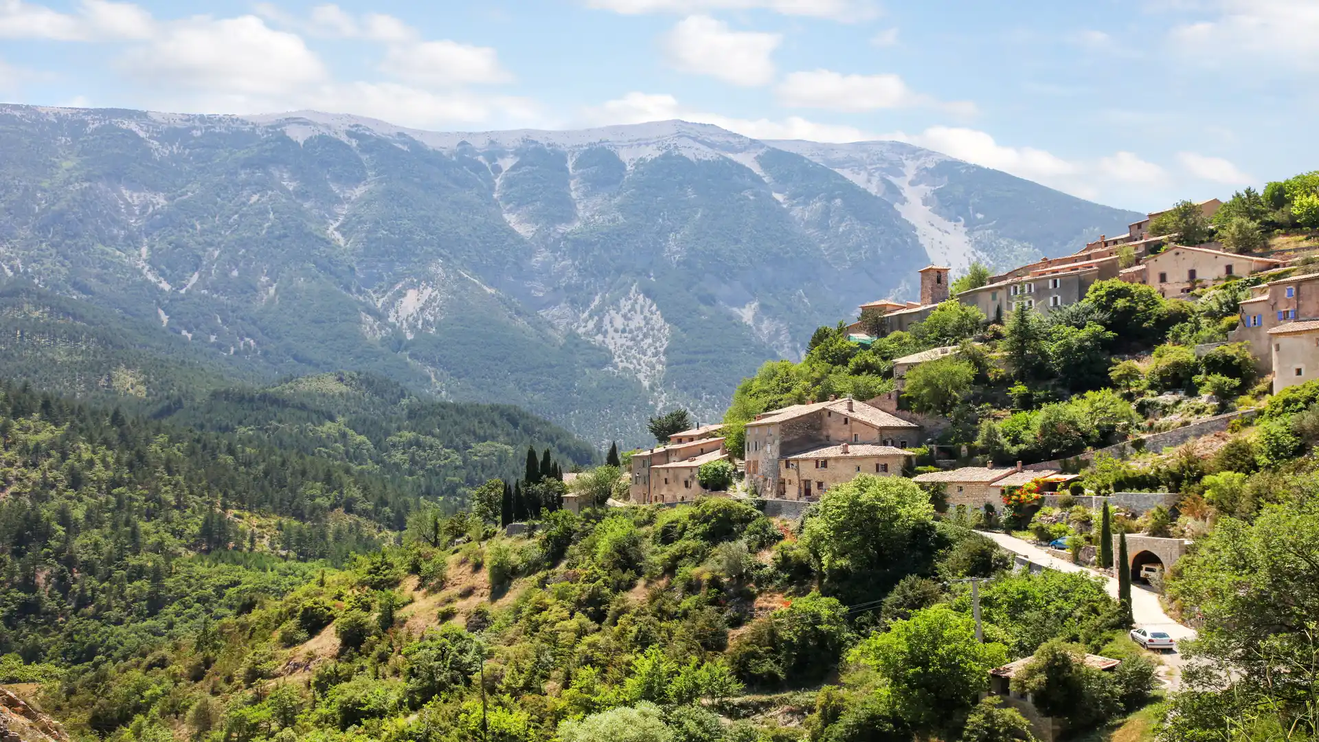
Provence stretches across south-eastern France between the lower Rhône, the Mediterranean coast, and the foothills of the Alps, where self-guided travel follows walking routes across limestone hills, river valleys, and long-settled farmland. Paths and GR routes link places such as Gordes, Apt, Forcalquier, Moustiers-Sainte-Marie, and Saint-Rémy-de-Provence, connecting plateaux, vineyards, gorges, and small market towns through a landscape defined more by geology and agriculture than by elevation.
The terrain is varied but rarely mountainous. Broad ridges and plateaux rise above cultivated valleys, while dry stone terraces, olive groves, and woodland cover the slopes. Rivers such as the Durance and Verdon cut deeper corridors through the land, creating linear passages between higher ground. Routes often follow these valleys or cross between ridges on old tracks and shepherd paths, with steady gradients rather than sustained climbs.
Protected landscapes structure much of the region. The Luberon and Alpilles lie within regional natural parks, while the Verdon gorge forms a narrow limestone canyon separating plateau from plateau. Settlement remains frequent and closely spaced, with villages, farms, and small towns appearing at regular intervals along the routes. Paths pass easily between countryside and inhabited places, and few sections lie far from services.
Movement through Provence tends to be lateral rather than vertical. Routes cross ridges, descend into valleys, and link one basin to the next, forming long continuous stages between settlements. Distances often define progress more than height gained, and terrain alternates between open plateau, wooded slope, and cultivated lowland.
Stone walls, chapels, fountains, and village squares appear regularly along the routes.
Routes & Landscapes Across the Region
Long-distance GR routes cross the Luberon and surrounding hills, linking Apt and Cavaillon with the Verdon and Durance valleys through a network of ridge tracks and woodland paths.
Around the Verdon, paths follow the edges of the gorge and descend to the river, combining plateau walking with shorter, steeper sections along limestone cliffs and riverbanks.
Across the Alpilles and lower Rhône plain, quieter lanes and field tracks connect Saint-Rémy-de-Provence with smaller villages and low ridges, forming gentler sections through vineyards, olive groves, and farmland.
Together, these valley, ridge, and plateau links create a connected network that supports circular routes or longer staged crossings between towns.
Areas of Provence
The Luberon hills around Apt and Gordes, the Verdon and its surrounding plateaux near Moustiers-Sainte-Marie, and the lower Alpilles and Rhône valley near Saint-Rémy each present distinct combinations of limestone ridge, cultivated valley, and woodland while remaining closely linked within a compact region.
Beginning to explore Provence
Provence forms a network of valleys and plateaux rather than a single highland mass. Following its ridges, rivers, and village tracks shows how stone, farming, and settlement shape movement across this long-inhabited Mediterranean landscape.
Frequently Asked Questions
What terrain should I expect?
Rolling hills, limestone plateaux, valley tracks, and woodland paths, with generally steady rather than steep gradients.
Are there longer routes?
Yes. GR routes and connecting paths allow extended stages between villages and valleys.
Are there protected landscapes?
Yes. Several regional natural parks protect the Luberon, Alpilles, and Verdon areas.
Is the region remote?
No. Villages and towns appear regularly, and most routes pass close to settlements.
Can routes be combined easily?
Yes. Numerous crossings and links allow routes to move between valleys and plateaux without retracing long sections.