Suffolk Broads – Rivers, Marshland, and Open Wetland
Low-lying grazing marsh, reedbeds, and navigable rivers along the southern edge of The Broads National Park
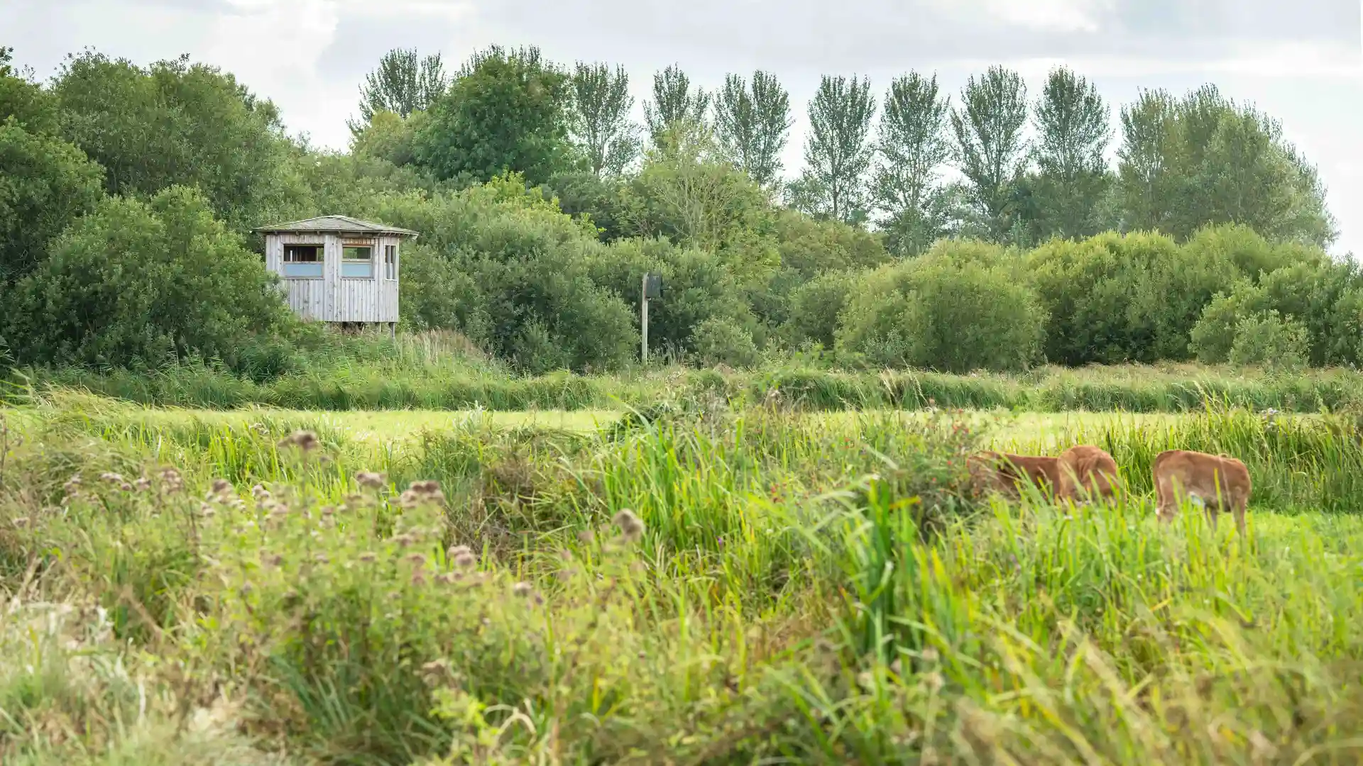
The Suffolk Broads form the southern section of The Broads National Park, an area of flat marshland, open water, and slow-moving rivers in the East of England. Walking routes follow the River Waveney and nearby waterways and connect Angles Way and local riverside paths, linking places such as Beccles, Bungay, Oulton Broad, and Lowestoft along floodbanks, reedbeds, and waterside tracks across level ground.
Much of the terrain is flat and soft underfoot. Grass floodbanks, earth paths, boardwalks, and quiet lanes allow steady progress with minimal ascent, although sections can be muddy after rain and during winter months.
The landscape shifts between areas. Broad grazing marsh and reedbeds dominate the river valleys, small woodland belts and hedgerows appear around villages, and wider water and estuary sections open toward the coast near Lowestoft.
Settlements are lightly spaced along the river corridors, creating regular access points for short walks and longer linear routes without steep gradients or sustained climbs.
Trails and Routes Through the Suffolk Broads
Angles Way
A long-distance route following the River Waveney between Great Yarmouth and Knettishall Heath on floodbanks, field paths, and quiet countryside tracks.
Wherryman’s Way
A riverside path following the River Yare between Norwich and Great Yarmouth, connecting with the Broads landscape to the north.
Waveney Valley Paths
Local riverside and marshland routes linking Bungay, Beccles, and Oulton Broad along grass banks and waterside tracks.
Coastal Link Paths
Short walking links connecting the Broads with the Suffolk coast near Lowestoft and Kessingland.
Walking Character
• Flat marsh and floodplain ground
• Reedbeds and open water
• Grass floodbanks and boardwalks
• Quiet lanes and riverside tracks
• Wide horizons and open sky
• Small towns and scattered villages
• Level and waterside