Suffolk – Heathland Coast, Estuaries, and Quiet Horizons
Open landscapes shaped by rivers, heath, and a softer edge of the North Sea
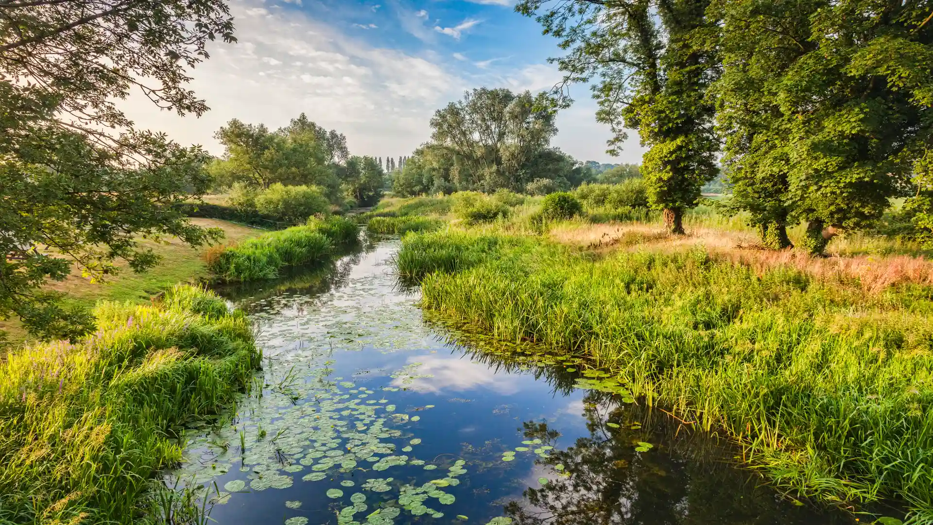
Suffolk is one of the defining self-guided travel landscapes of the East of England, where walking routes link heathland, tidal estuaries, shingle shoreline, and quiet countryside between long-settled coastal villages and rural places. Much of the coast lies within the Suffolk Coast & Heaths National Landscape, and the The Suffolk Coast Path forms the backbone of movement along the coast, connecting towns and nature reserves between Lowestoft, Southwold, Dunwich, Aldeburgh, Orford, and Felixstowe through a continuous thread of low-lying landscapes shaped by water, wind, and light.
Walking here feels calmer and more enclosed than on Norfolk’s open shore. Paths wind through pinewoods, across heath and grazing marsh, and beside slow rivers and creeks before reaching wide beaches and shingle banks. Progress is steady and unhurried, guided by estuaries and river mouths rather than elevation, with frequent transitions between woodland, wetland, and coast.
The coastline is varied and understated. Nature reserves, reedbeds, and lagoons sit alongside historic ports and former fishing villages, while stretches of shingle and sand create long, quiet sections between settlements. Inland, the land rises gently through farmland and forest, offering sheltered walking away from the wind and tide.
Settlements appear naturally along these routes. Market towns and small coastal communities provide places to pause without disrupting the landscape’s sense of continuity, reinforcing Suffolk’s slower pace and its suitability for longer, self-guided journeys on foot.
Trails and Routes Through Suffolk
Suffolk Coast Path
A long-distance coastal route linking beaches, heathland, marsh, and nature reserves between Felixstowe and Lowestoft, forming the core walking line through the county.
Sandlings Walk
A heathland and forest path running inland through the Suffolk Coast & Heaths landscape between Ipswich and Southwold, offering quieter, wooded walking away from the shore.
Stour and Orwell paths
Riverside routes following estuaries and tidal waters through open countryside and historic ports on the county’s southern edge.
Short coastal and reserve walks
Well-marked paths around places such as Minsmere, Dunwich Heath, Orford Ness, and Shingle Street.
Walking Character
- Heathland, woodland, and open estuaries
- Shingle beaches and quiet coastal stretches
- Reedbeds, marsh, and nature reserves rich in wildlife
- Sheltered paths through pine forest and farmland
- Village-to-village walking with regular stopping points
- Generally gentle terrain suited to steady, longer days on foot