Gwynedd – Mountains, Coastline, and Upland Valleys
High mountain massifs, glacial valleys, and a long western coastline between Eryri and the Llŷn Peninsula
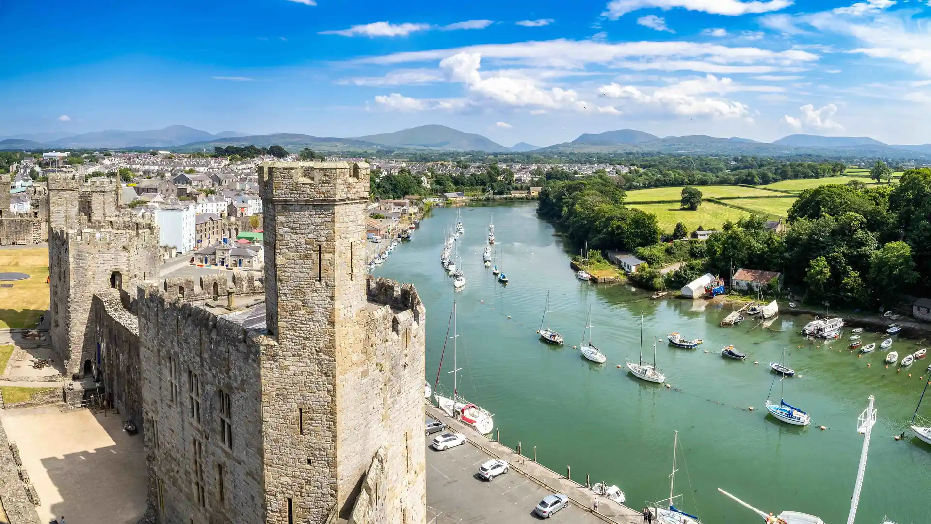
Gwynedd is a county of mountain ridges, rocky uplands, river valleys, and coastal plain in North Wales. Walking routes cross Eryri National Park (Snowdonia National Park) and follow the Wales Coast Path, Cambrian Way, Snowdonia Slate Trail, and Llŷn Coastal Path, linking places such as Caernarfon, Beddgelert, Dolgellau, Porthmadog, and Pwllheli across mountain passes, valley tracks, and shoreline paths.
Much of the terrain is firm but varied underfoot. Stone mountain paths, upland tracks, bridleways, and coastal trails allow steady progress, with frequent climbs and descents and steeper gradients in upland areas rather than level ground.
The landscape shifts between areas. The central and eastern sections are dominated by high peaks, cwms, and glacial valleys, while the western side lowers toward estuaries and sandy bays. The Llŷn Peninsula becomes narrower and more coastal with headlands, small coves, and pasture.
Settlements are concentrated along valley floors and the coast, creating regular access points for shorter walks and longer point-to-point routes between towns and villages.
Trails and Routes Through Gwynedd
Wales Coast Path
A long-distance national route following the coastline around Cardigan Bay and along the Llŷn Peninsula on clifftop, beach, and headland paths.
Cambrian Way
A mountain route crossing Wales north–south through the heart of Eryri using high passes, ridges, and upland tracks.
Snowdonia Slate Trail
A circular multi-day route linking former quarrying communities between Bangor, Llanberis, Beddgelert, and Bethesda.
Llŷn Coastal Path
Regional coastal sections following headlands, bays, and farmland paths along the peninsula between Caernarfon and Pwllheli.
Mawddach Trail
A traffic-free path along the Mawddach Estuary between Dolgellau and Barmouth using a former railway line.
Walking Character
• Mountain ridges and rocky summits
• Glacial valleys and lakes
• Upland tracks and stone paths
• Estuaries and sandy bays
• Coastal headlands and cliffs
• Villages in valleys and along the shore
• Upland and coastal mixed