The Scottish Islands – Coastal Paths, Machair, Cliffs, and Remote Trails
Land broken by tide, weather, and time, where paths follow coastlines, history, and open sky
Machair grasslands, open moor, and long Atlantic horizons shape Scotland’s islands, where routes such as the Hebridean Way link settlements including Stornoway, Tarbert, and Castlebay across the Outer Hebrides, while clifftop and shoreline paths circle the Orkney Islands and Shetland Islands, creating a landscape where movement unfolds between coast, moorland, beach, and sea.
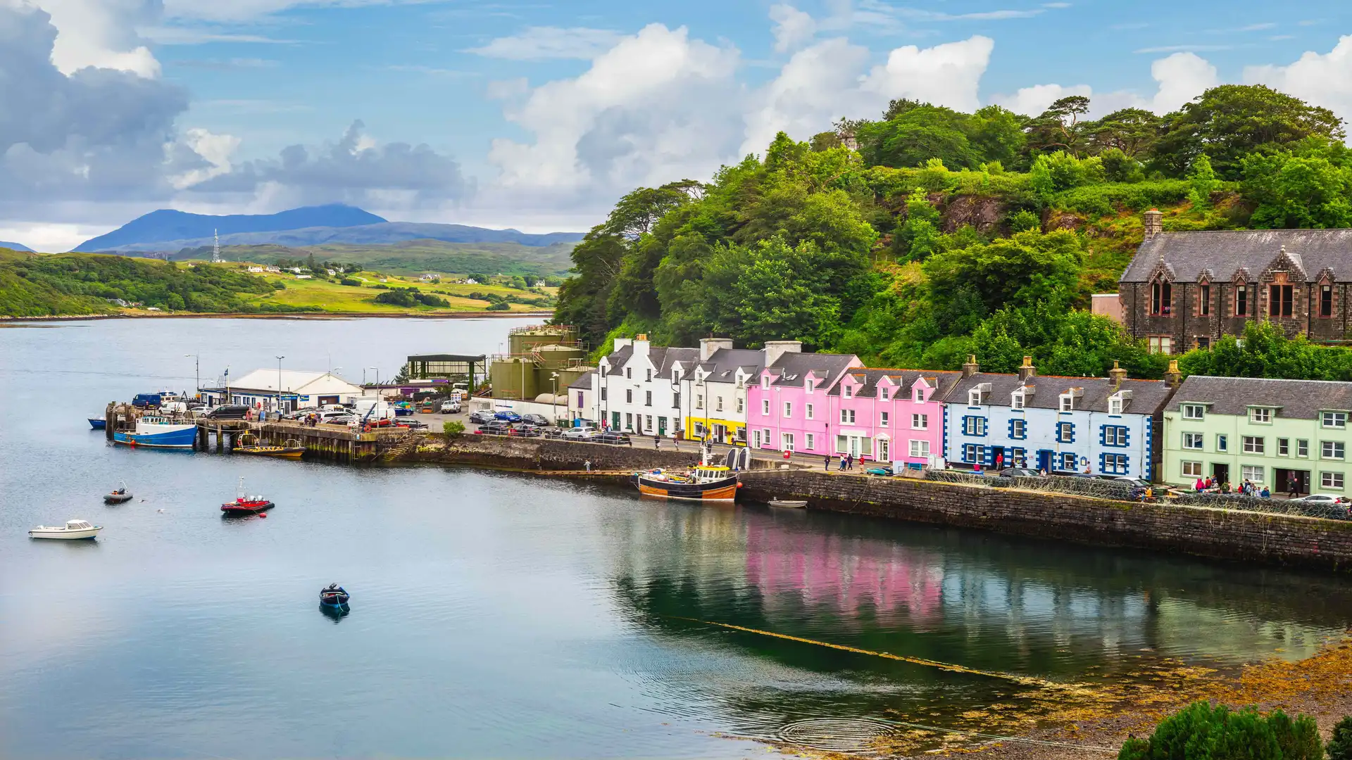
These islands feel separate from the mainland in both scale and rhythm. Land narrows into headlands, breaks into skerries, and stretches into wide Atlantic horizons. Routes often follow old crofting tracks, coastal margins, and single-track roads, passing through small harbours and stone-built villages where weather and tide shape daily life. Walking here is guided as much by shoreline and light as by waymarks.
Much of the character comes from the meeting of nature and history. Along Orkney’s west coast, paths pass directly through the Heart of Neolithic Orkney UNESCO World Heritage Site, where stone circles, chambered cairns, and ancient settlements sit within open farmland and cliff-backed bays. Further west, the remote archipelago of St Kilda UNESCO World Heritage Site rises abruptly from the Atlantic, protecting seabird cliffs, abandoned island settlements, and some of the most isolated walking terrain in Britain. Across the Outer Hebrides, machair grasslands and peat moor support birdlife and wildflowers, while Shetland’s cliffs and sea stacks hold some of Scotland’s most dramatic coastal scenery.
Movement across the islands often combines walking with short ferry crossings or causeways. The Hebridean Way threads ten islands together into a continuous north–south journey, while shorter coastal routes circle peninsulas, follow cliff edges, or connect beaches and headlands. These natural corridors make it easy to shape days around tides, weather, and distance rather than fixed stages.
Gradients are typically gentle, but exposure defines the experience. Wind, sea spray, and wide skies give even short routes a strong sense of space. Settlements appear intermittently, creating natural pauses between longer stretches of open land and shoreline.
This is a region best understood step by step: along cliff tops, across flowering machair, and between harbours where land and sea remain inseparable.
Routes & Landscapes Across the Region
The Hebridean Way links the Outer Hebrides from Vatersay to Lewis, combining moorland, beaches, crofting townships, and wide Atlantic views across multiple islands.
Coastal paths across the Orkney Islands circle the West Mainland and islands such as Hoy and Rousay, passing cliffs, farmland, and the monuments of the Heart of Neolithic Orkney UNESCO World Heritage Site.
Routes around the Shetland Islands explore exposed headlands and sea stacks at places like Eshaness and Hermaness, with bold sea views and seabird colonies.
Additional island trails on Arran, Mull, and Skye combine woodland, hill, and shoreline walking within compact and easily linked landscapes.
Island Groups of the Region
The Outer Hebrides, Orkney, Shetland, and smaller west coast islands each offer distinct combinations of machair, moorland, cliff, and harbour settlement, providing natural bases for longer island-to-island journeys.
Beginning to explore the Islands
Scotland’s islands form a connected network of coastal paths, heritage sites, and ferry-linked communities rather than a single destination. Following their shorelines reveals landscapes shaped by tide, wind, and history, where travel feels slower, quieter, and closely tied to the sea.
Frequently Asked Questions
What defines walking on the Scottish Islands?
Coastal paths, machair tracks, clifftop routes, and shoreline trails linking small villages, harbours, and historic sites.
Are there long-distance routes in the region?
Yes. The Hebridean Way provides a multi-day route across the Outer Hebrides, with many shorter coastal trails across Orkney and Shetland.
Is the terrain challenging?
Most terrain is gentle to moderate, though exposure to wind and weather can make routes feel more demanding.
Are there protected or historic landscapes?
Yes. The region includes the Heart of Neolithic Orkney UNESCO World Heritage Site and numerous coastal habitats and designated wildlife areas across the islands.
Can routes be linked together?
Yes. Ferries and causeways connect many islands, allowing walking routes to be combined into longer, flexible journeys.