Strangford & Lecale Peninsula – Tidal Shores, Farmland, and Coastal Lowlands
Enclosed waters, low pasture, and narrow lanes shaped by tide, farming, and settlement
Strangford Lough and the Lecale Peninsula occupy the south-east corner of Northern Ireland, where self-guided travel follows walking routes around sheltered shores, tidal inlets, and low coastal farmland. Paths, minor roads, and shoreline tracks link places such as Strangford, Portaferry, Downpatrick, Ardglass, and Killough, connecting small harbours, villages, and open countryside across a compact peninsula bordered by lough and sea.
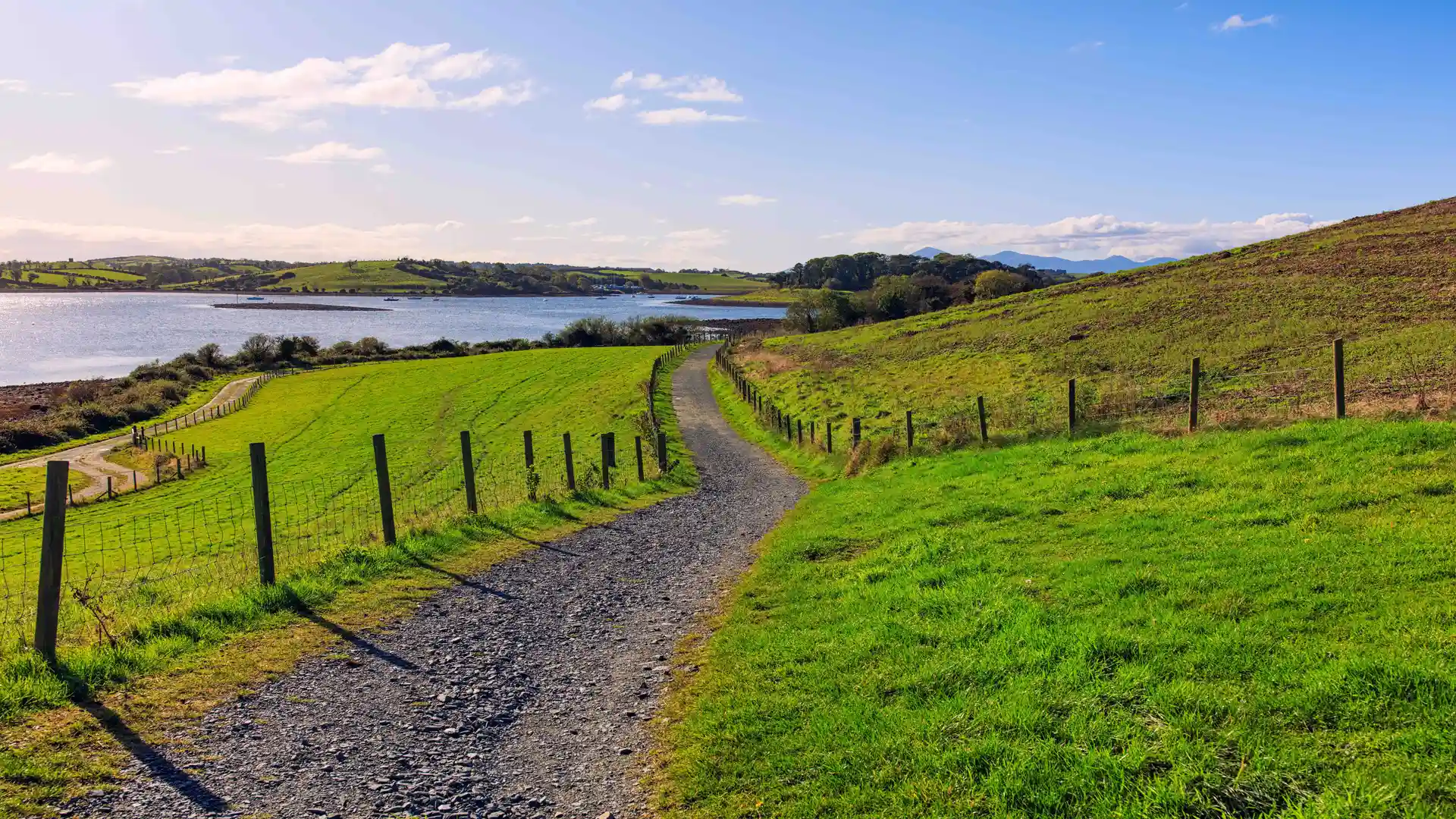
The terrain is largely level or gently rolling. The lough forms a broad, enclosed body of water cut by narrow channels and mudflats, while the Lecale Peninsula extends south into the Irish Sea as a low wedge of pasture, hedgerows, and quiet lanes. Elevation change is limited, and routes are shaped more by shoreline curves and field boundaries than by climbs or ridges.
Much of the coastline lies within the Strangford and Lecale National Landscape, protecting tidal habitats, wetlands, low cliffs, and farmland close to the water’s edge. Farms, churches, and small settlements sit directly beside the shore, and paths pass easily between harbours, fields, and village streets without long gaps between services.
Movement through the region tends to follow the water. Routes trace the edge of Strangford Lough, cross between inlets on bridges and causeways, or loop around the Lecale coast between fishing villages and small bays. Distances between settlements are short, allowing routes to be linked into continuous shoreline stages.
Stone piers, slipways, and harbour fronts appear regularly along the way.
Routes & Landscapes Across the Region
Shoreline routes around Strangford Lough connect Portaferry and Strangford with quieter inlets and small settlements, combining minor roads, embankments, and waterside tracks that follow the contours of the lough.
Across the Lecale Peninsula, rural lanes and field paths link Downpatrick with Ardglass, Killough, and the southern headlands, forming low-level coastal sections between farmland and sea.
Short inland connections cross the centre of the peninsula, allowing loops that combine lough shore, open coast, and countryside without long detours.
Together, these shoreline and inland links create a compact network of routes suited to circular or multi-stage sections.
Areas of Strangford & Lecale
The western shores of Strangford Lough around Downpatrick, the eastern side near Portaferry and the Ards Peninsula, and the southern Lecale coast between Ardglass and Killough each present distinct combinations of tidal shoreline, pasture, and small harbour settlements while remaining closely connected by short distances and quiet roads.
Beginning to explore Strangford & Lecale
Strangford and Lecale function as a low coastal landscape shaped by water rather than elevation. Following the shoreline and crossing points shows how tide, farming, and settlement guide movement around the edges of the peninsula.
Frequently Asked Questions
What terrain should I expect?
Mostly level or gently rolling ground, with shoreline paths, rural lanes, and farmland tracks.
Are there longer routes?
Yes. Sections of shoreline and inland links can be combined into extended stages around the lough or along the Lecale coast.
Are there protected landscapes?
Yes. Much of the coast lies within the Strangford and Lecale National Landscape.
Is the region remote?
No. Villages, farms, and services appear regularly along both the lough and the coast.
Can routes be combined easily?
Yes. Numerous crossings and short inland links allow circular or continuous routes without retracing long sections.