Mid Wales – Upland Plateaux, Reservoir Valleys, and Remote Moorland Paths
Broad ridges, quiet water, and long horizons shaped by river, weather, and distance
Mid Wales is shaped by its walking routes, open upland landscapes, and the small towns and valleys they connect. Paths cross the Cambrian Mountains, circle the reservoirs of the Elan Valley, and follow long-distance lines such as Glyndŵr’s Way, linking places including Rhayader, Machynlleth, and Knighton. The result is a region where movement unfolds steadily across moor, ridge, and river valley, often for miles without interruption.
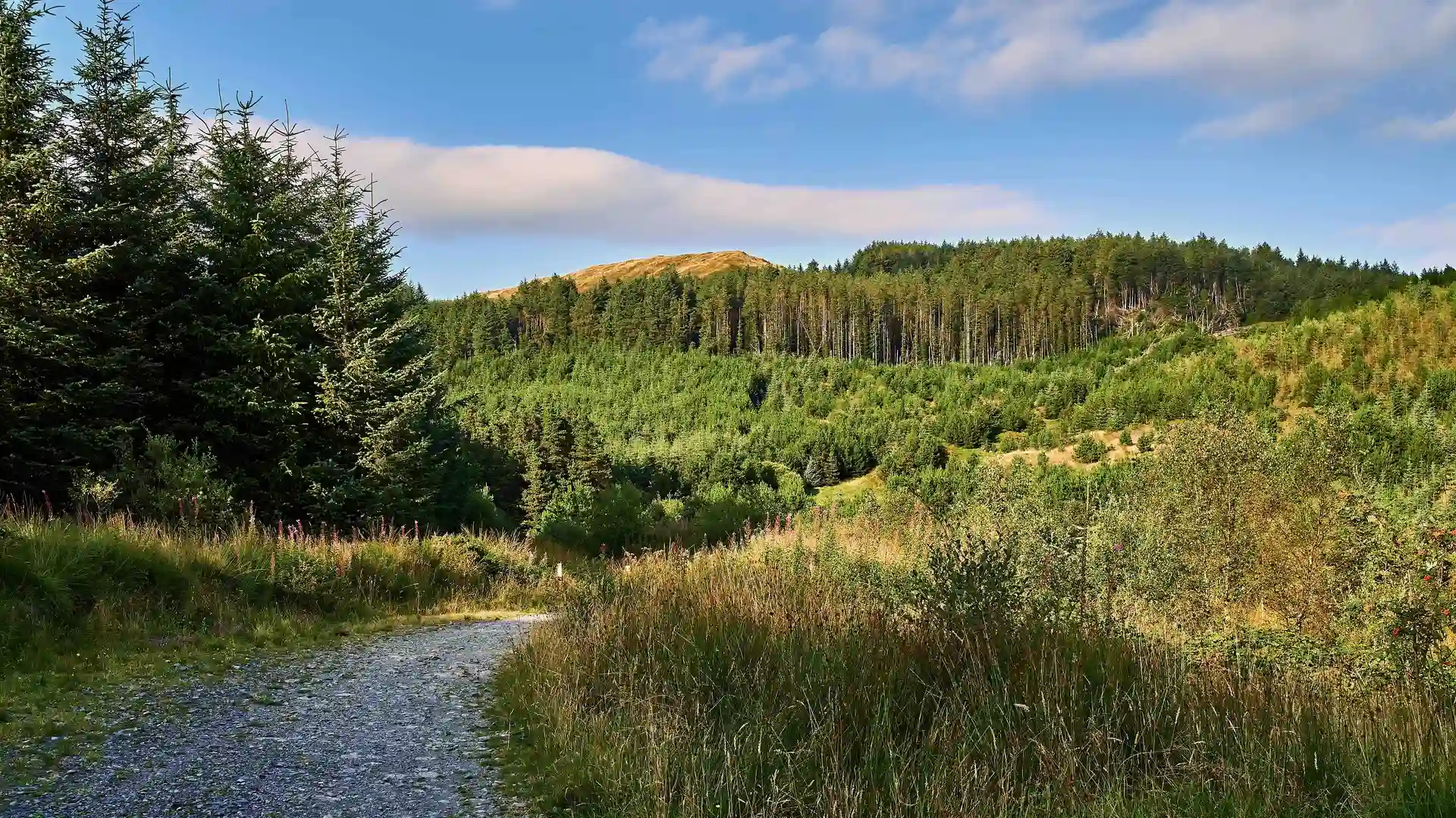
The terrain is expansive rather than dramatic. Rounded hills and high plateaux rise gradually from farmland and woodland, creating wide views under big skies. Rivers cut deep, wooded valleys through otherwise open country, while reservoirs reflect long stretches of light and cloud. Routes feel spacious and continuous, shaped more by distance than ascent.
Much of the region’s character comes from its remoteness and protection. Large areas of upland remain lightly settled, with forest, heath, and blanket bog forming broad tracts of quiet ground. Around the Elan Valley, engineered dams and lakes sit within managed woodland and open moor, creating a distinctive landscape where water, stone, and hillside meet. Parts of the Cambrian Mountains fall within the Cambrian Mountains Dark Sky Reserve, reinforcing the sense of isolation after dusk.
Movement often follows historic or practical lines. Drovers’ roads, forestry tracks, and minor lanes guide today’s trails across passes and along ridgelines. Glyndŵr’s Way threads through the heart of the region between market towns and hill farms, while shorter valley and reservoir paths provide level alternatives beside water. These intersecting routes make it easy to combine upland and low-level sections over several days.
Walking here is defined by quietness and scale. Settlements appear infrequently, and long stretches pass through open land with only wind, water, and distant farms for company. Progress feels steady and self-contained, encouraging longer days shaped by landscape rather than landmarks.
This is a region best understood step by step: across open moor, beside still reservoirs, and along ridges where sky and land seem to meet.
Routes & Landscapes Across the Region
Cambrian Mountains offer remote upland walking across ridges, peat moor, and empty valleys with long, uninterrupted views.
The Elan Valley contains a network of reservoir-side and woodland trails linking dams, forests, and open hillside.
Glyndŵr’s Way forms a continuous long-distance route between Knighton and Machynlleth through Radnorshire hills and central uplands.
Additional valley and forestry paths connect towns such as Rhayader and Llanidloes through quieter countryside.
Areas of Mid Wales
The Cambrian Mountains, Elan Valley, Radnorshire Hills, and upper Severn and Wye valleys each offer distinct combinations of upland, woodland, and river landscape, providing natural bases for longer inland journeys.
Beginning to explore Mid Wales
Mid Wales forms a loose network of upland tracks, reservoir paths, and rural lanes rather than a single focal destination. Following these routes reveals a landscape shaped by distance and weather, where travel feels quiet, measured, and closely tied to the land itself.
Frequently Asked Questions
What defines walking in Mid Wales?
Open moorland, reservoir circuits, forest tracks, and long ridge paths between small market towns.
Are there long-distance routes in the region?
Yes. Glyndŵr’s Way crosses the heart of Mid Wales through upland and valley landscapes.
Is the terrain challenging?
Gradients are generally steady rather than steep, though distances between settlements can be long and exposed.
Are there protected or designated landscapes?
Yes. The Elan Valley and parts of the Cambrian Mountains include protected environments and Dark Sky status.
Can routes be linked together?
Yes. Upland, valley, and reservoir paths intersect frequently, allowing flexible multi-day journeys.