Lancashire – Coast, Moorland, and Rolling Countryside
Low hills, wide estuaries, and open farmland between the Irish Sea and the Pennines
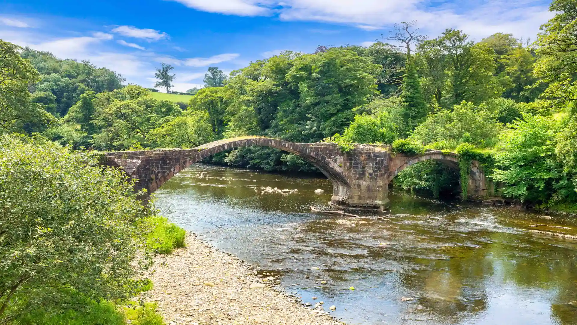
Sand dunes, tidal estuaries, and rolling pasture shape Lancashire, where walking routes cross the Forest of Bowland National Landscape and follow the Ribble Way, the Lancashire Coastal Way, and the Pendle Way between Lancaster, Morecambe, Lytham, Blackpool, Clitheroe, and the Ribble Valley.
Much of the terrain is firm and moderately varied underfoot. Field paths, canal towpaths, riverside tracks, and low moorland trails allow steady progress through farmland and valleys, with short climbs onto ridges and fells rather than sustained ascent.
The landscape changes across the county. The west is flat and coastal with beaches, dunes, and saltmarsh around Morecambe Bay and the Fylde Coast, while the centre follows the River Ribble through pasture and market towns. To the east, the ground rises into the Bowland Fells and the Pennine fringe, with open moorland, stone walls, and broader views.
Towns and villages are spaced regularly along valleys, rivers, and the coast, creating practical access points for shorter walks and longer point-to-point routes.
Trails and Routes Through Lancashire
Ribble Way
A long-distance route following the River Ribble from the Pennines to the Irish Sea through valleys, farmland, and estuary landscapes.
Lancashire Coastal Way
Runs along the county’s shoreline between Silverdale and Freckleton, linking beaches, dunes, marshes, and seaside towns.
Pendle Way
A circular trail around Pendle Hill crossing pasture, moorland, and historic villages in the Ribble Valley.
Lancaster Canal towpaths
Level waterside paths connecting Lancaster, Carnforth, and Preston through locks, embankments, and rural countryside.
Leeds and Liverpool Canal towpaths
Level walking between Blackburn and Burnley along historic canal corridors and industrial-era waterways.
Walking Character
• Sandy beaches and tidal estuaries
• Rolling pasture and hedged farmland
• Low hills and moorland fells
• Riverside and canal towpaths
• Market towns and coastal resorts
• Open inland and coastal scenery